Unparalleled Construction Solutions
Four Point Solutions is a leading provider for construction focused technologies, offering a wide range of innovative solutions to our clients. With decades of experience and a team of skilled professionals, we are dedicated to delivering exceptional results on every project.


Heavy Construction Solutions powered by 
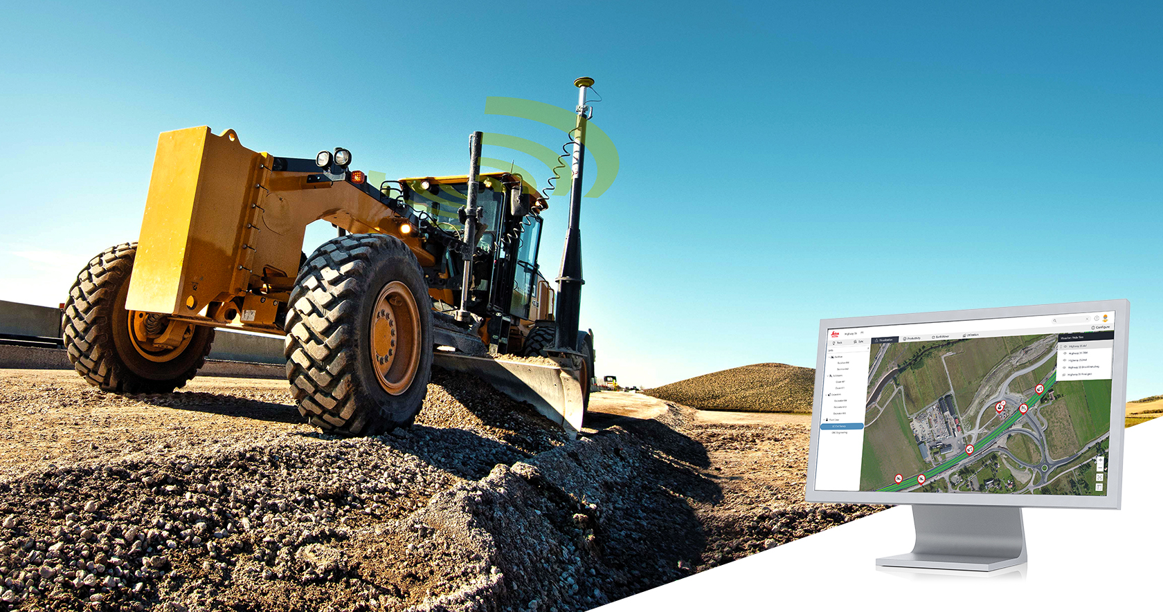
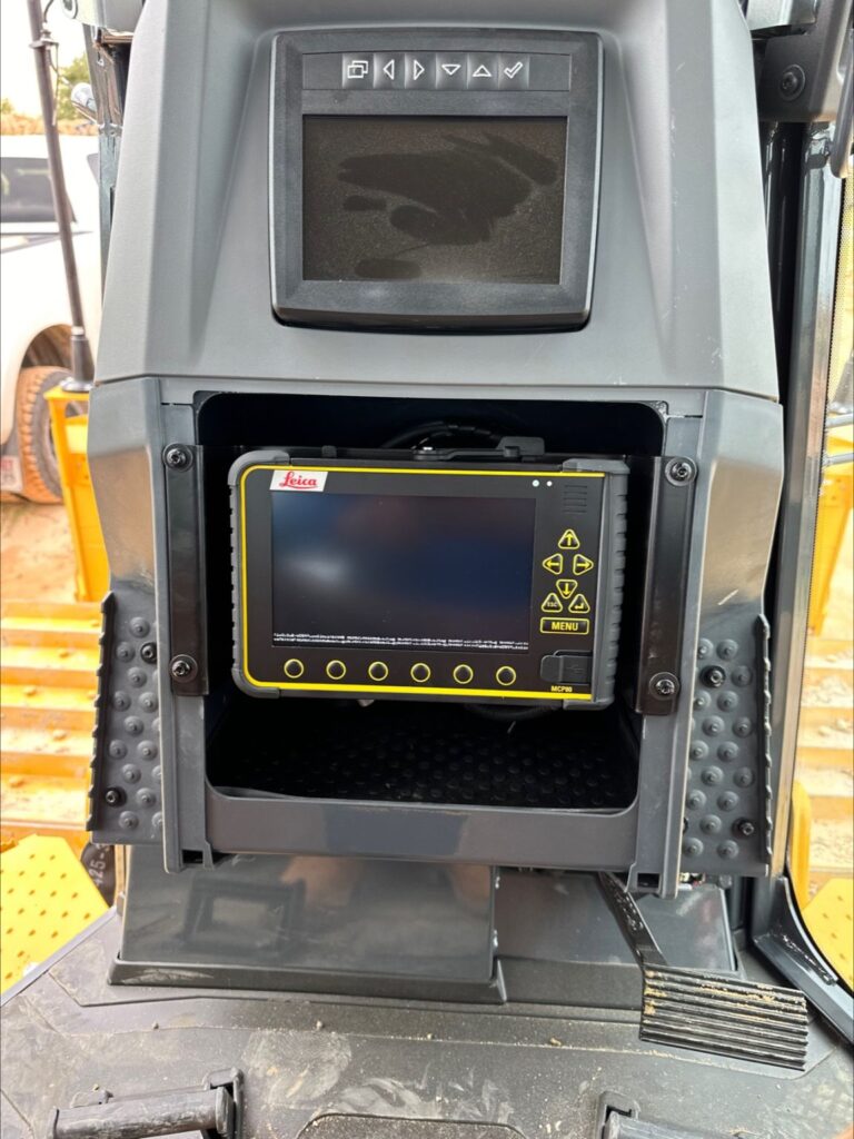
Software
Increase productivity and efficiency in every stage of the project with Leica Geosystems’ intelligent construction software.

Safety
Leica Geosystems’ Safety awareness solutions for the entire heavy construction site.
Excavators
Carry out excavation designs accurately and easily with precise excavator control systems.
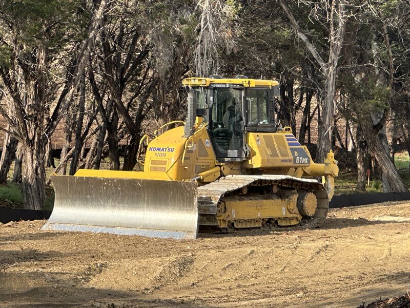
Dozers
Boost productivity and performance with Leica’s superior easy-to-use grade solutions.
Graders
Handle fine grading and trimming tasks easily and efficiently with high performing grading systems.
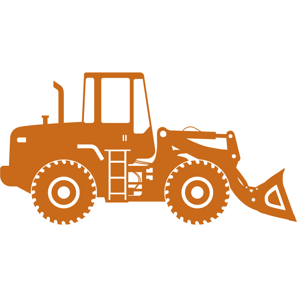
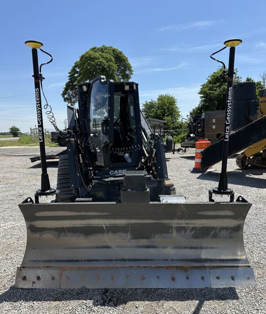
Loaders
Machine control solutions for wheel loaders, skid-steer loaders and compact track loaders.

Scrapers
Leica Geosystems’ automated grading system for construction and agricultural tractors
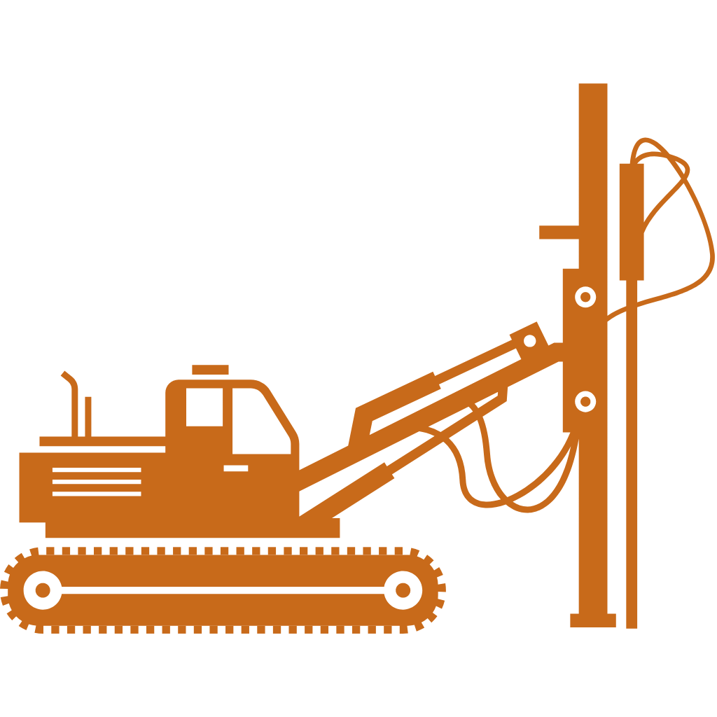
Drillers
Increase efficiency and productivity for pile drivers and drill rigs with 3D machine control.
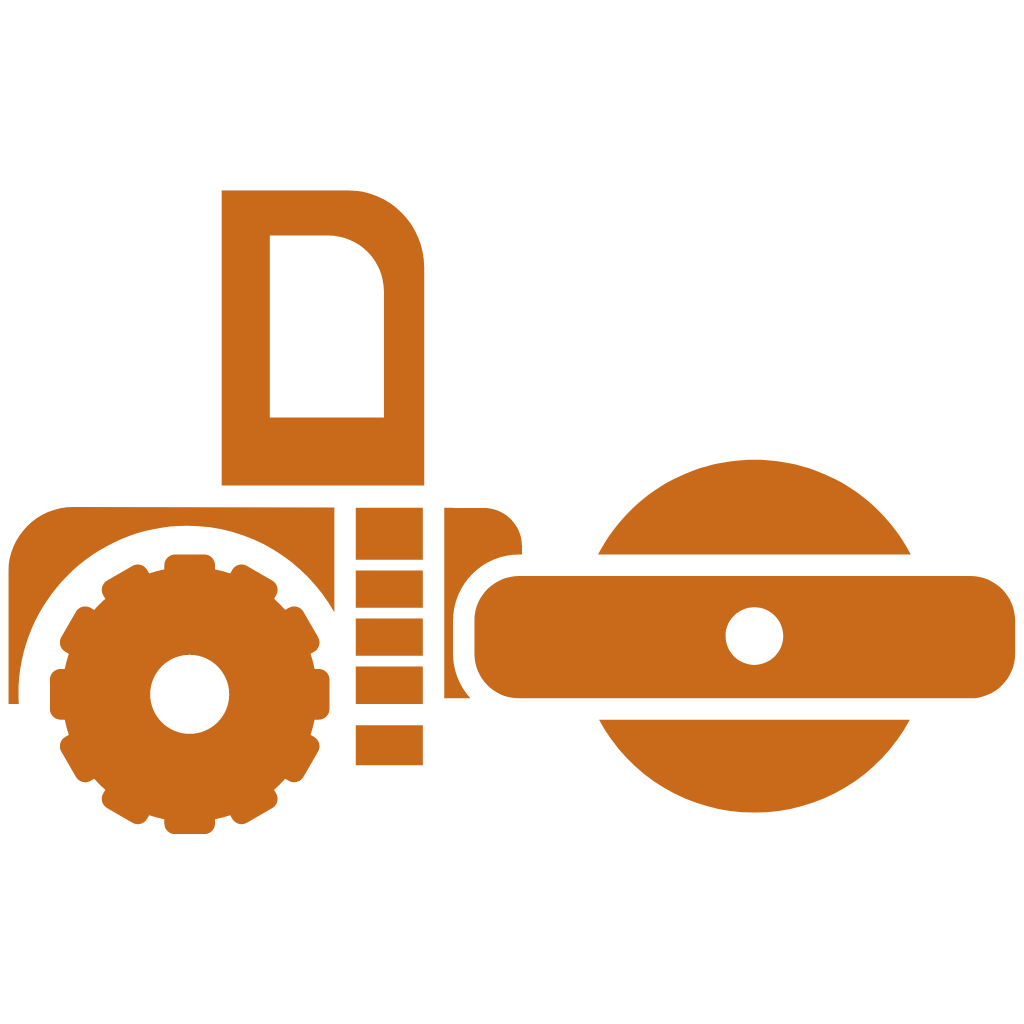
Rollers
Highest compaction quality as basis for long-lasting infrastructure projects or buildings.
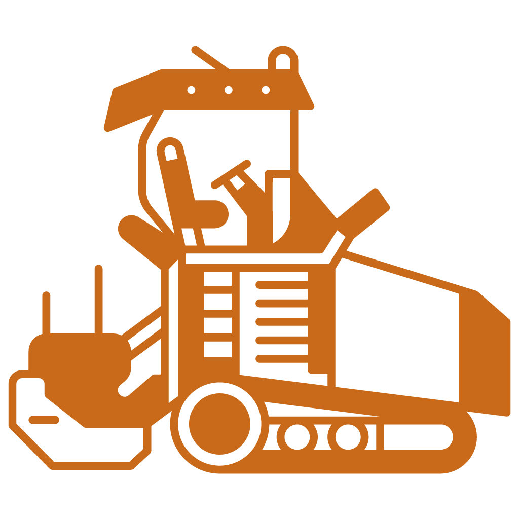
Pavers
Integrated paving and milling control systems to provide the smoothest surfaces.
LETS GET STARTED